
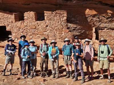
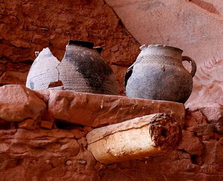
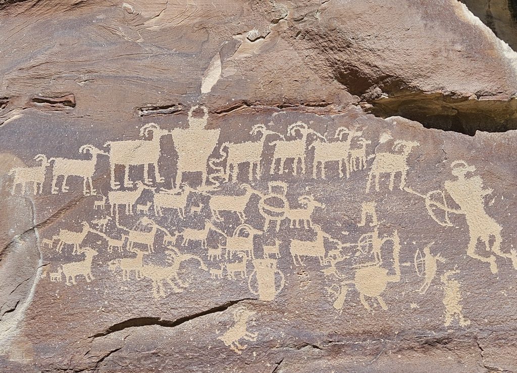
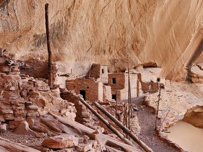
The San Juan Basin Archaeological Society offers monthly archaeology lectures, field trips, and educational programs throughout the Four Corners region. Our monthly presentations and guided field trips are open to anyone interested in the archaeology, history, and cultural heritage of the American Southwest.
Next Meeting and Lecture – August 12th
Our next meeting will be held in person and on Zoom on Wednesday, August 12th, at 7:00 p.m. in the lyceum at the Fort Lewis College Center of Southwest Studies. After a brief business meeting, James Davenport, Ph.D., will present “Archaeology of Andean South America.” A reception will start things off at 6:30 p.m. in the CSWS foyer.
Dr. Davenport earned his Ph.D. in 2021 at the University of New Mexico. He is now Senior Manager and Lead Senior Scientist of Archaeometry at the University of Missouri. His research has focused on multi-method analysis (NAA, LA-ICP-MS, thin section petrography, and X-Radiography) of ceramic production to examine the effects of empires on local subject potters and communities of practice. His research is primarily focused on the Inka empire of Andean South America. He also has research experience in Mesoamerica, Greece, the American Southwest, Southeast, and Northern Plains.
Link to Join Webinar – https://fortlewis.zoom.us/j/94032371260 – Meeting ID: 940 3237 1260
SJBAS Volunteer Opportunity – Website manager
SJBAS is seeking a volunteer to help manage and maintain our website. This role is essential to keeping our members informed and sharing our programs, events, and resources with the wider community. If you might be interested or would like more information, please follow this link or contact Lyle at lylehancock54@gmail.com.
San Juan Basin Archaeological Society
The San Juan Basin Archaeological Society (SJBAS) is a Colorado Nonprofit Corporation. SJBAS consists of people who are interested in the archaeology, culture, and early history of the Four Corners region. We have members of all ages and backgrounds, some with extensive training in archaeology and others with more limited knowledge but a strong desire to learn.
Our mission is to advocate for and promote public awareness and preservation of archaeological, cultural, and historical resources, primarily in the Four Corners region of the American Southwest.
Members are eligible to participate in SJBAS field trips and they receive a monthly newsletter, the Moki Messenger, with information about current SJBAS activities and other matters of archaeological, cultural, and historical interest.
We support and endow the John W. Sanders Internship and Education Fund. This fund provides ongoing internships for Fort Lewis College students at the Center of Southwest Studies. Donations are welcome to these 501(C)(3) funds: Donate.